AAC(UK) Online Shop
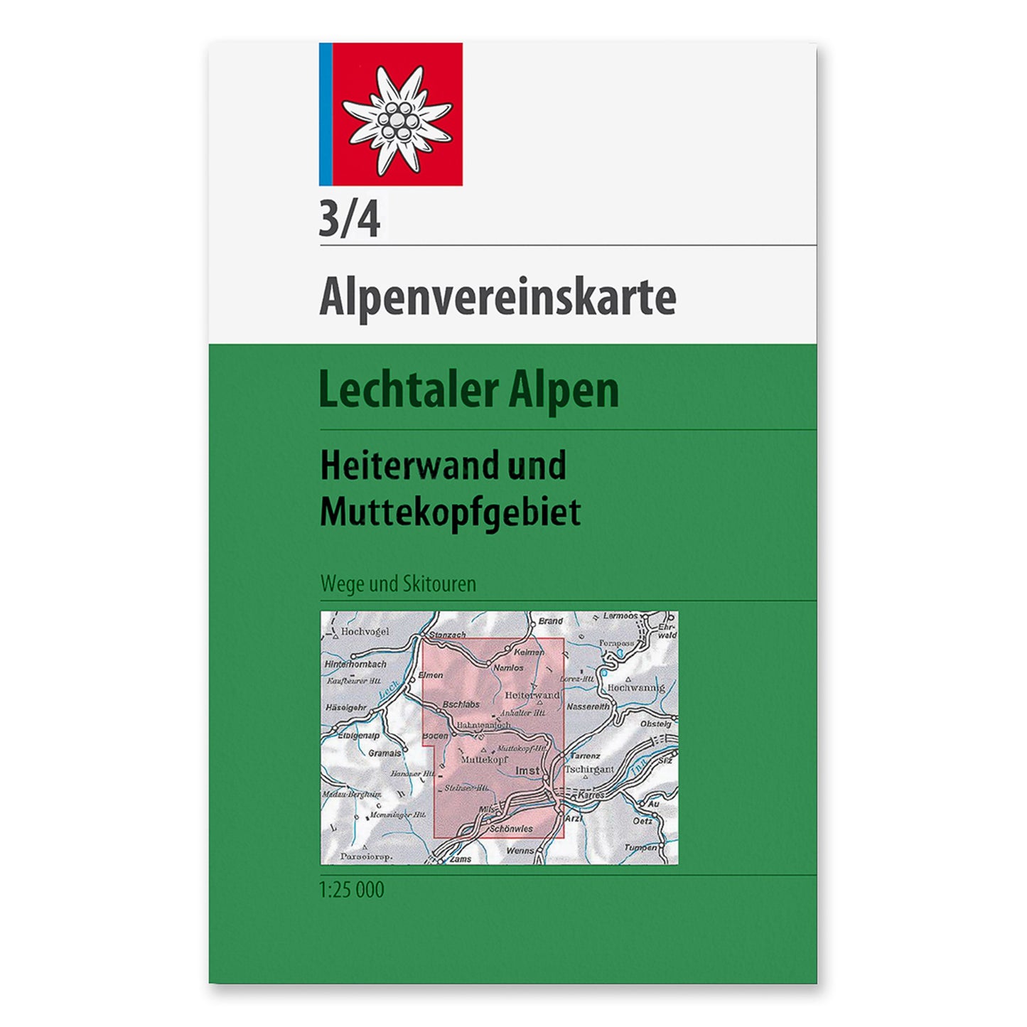
3/4 Kombi Map - Lechtal Alps, Heiterwand and Mutterkopf Area
3/4 Kombi Map - Lechtal Alps, Heiterwand and Mutterkopf Area
Couldn't load pickup availability
Lechtaler Alpen, Heiterwand und Mutterkopfgebiet - Lechtal Alps, Heiterwand and Mutterkopf Area
Edition: 2011 | Scale: 1:25,000 | Publisher: Alpenvereinskarten
The classic AV map series is a joint project of the German and Austrian Alpine Clubs and has been impressive since 1865 thanks to its high level of accuracy and extremely detailed depiction of terrain and rock.
Mostly on a scale of 1:25,000, the maps cover almost all areas of the Alps that are of interest to hikers and mountaineers and have rightly been a reference for topographical alpine maps for decades and are therefore the first choice for all hikers, mountaineers, mountain bikers and ski tourers.
- high accuracy (mostly on a scale of 1:25,000)
- detailed terrain and rock representation
- coordinated division with overlapping map sheets
- Emphasis on alpine high mountain regions
- Checking of the maps in the field by cartographers
- For summer and winter tours
- UTM grid
Please note this map has been discount as a newer version is available. Browse through our Maps section to find the latest edition. If you're unable to find the latest edition, contact the office or Alpenverein to inquire further.
Share